How Photogrammetry Scans of Real-World Locations Are Streamlining Environment Design for Open-World Mobile Titles
Mara Baumann · Aug 25, 2026
How Photogrammetry Scans of Real-World Locations Are Streamlining Environment Design for Open-World Mobile Titles
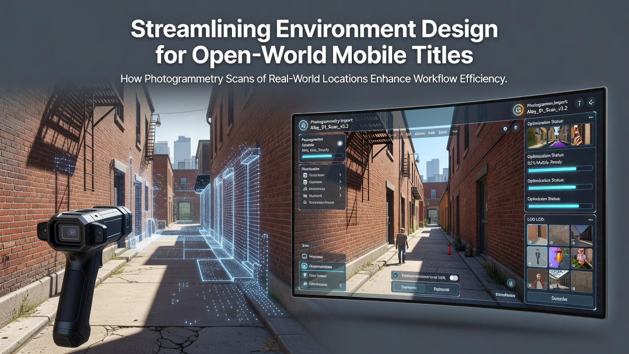
Photogrammetry converts photographs of physical sites into detailed three-dimensional models that developers import directly into game engines, and this technique has gained traction among teams building open-world experiences for mobile platforms as of August 2026. Studios capture thousands of overlapping images on location, process them through specialized software to generate geometry and textures, then optimize the results for lower-powered devices without sacrificing visual fidelity.
The Photogrammetry Pipeline in Practice
Teams begin by selecting representative real-world locations that match the game's setting, then deploy cameras mounted on drones or handheld rigs to record every surface from multiple angles while researchers document lighting conditions and material properties at the same time. Software stitches these images together to reconstruct accurate meshes and normal maps, after which artists clean up the data, reduce polygon counts, and bake in lighting information suitable for mobile rendering pipelines. This workflow replaces weeks of manual modeling with a faster capture-and-refine cycle that preserves authentic architectural details and natural terrain variations.
Data from industry reports shows mobile open-world projects now allocate up to thirty percent less time to environment art when photogrammetry feeds the asset pipeline compared with traditional hand-crafted approaches. Studios working on titles set in recognizable cities or rural landscapes benefit most because the scanned geometry already contains the irregular shapes and surface imperfections that players notice when exploring large maps.
Hardware and Software Advances Supporting Mobile Deployment
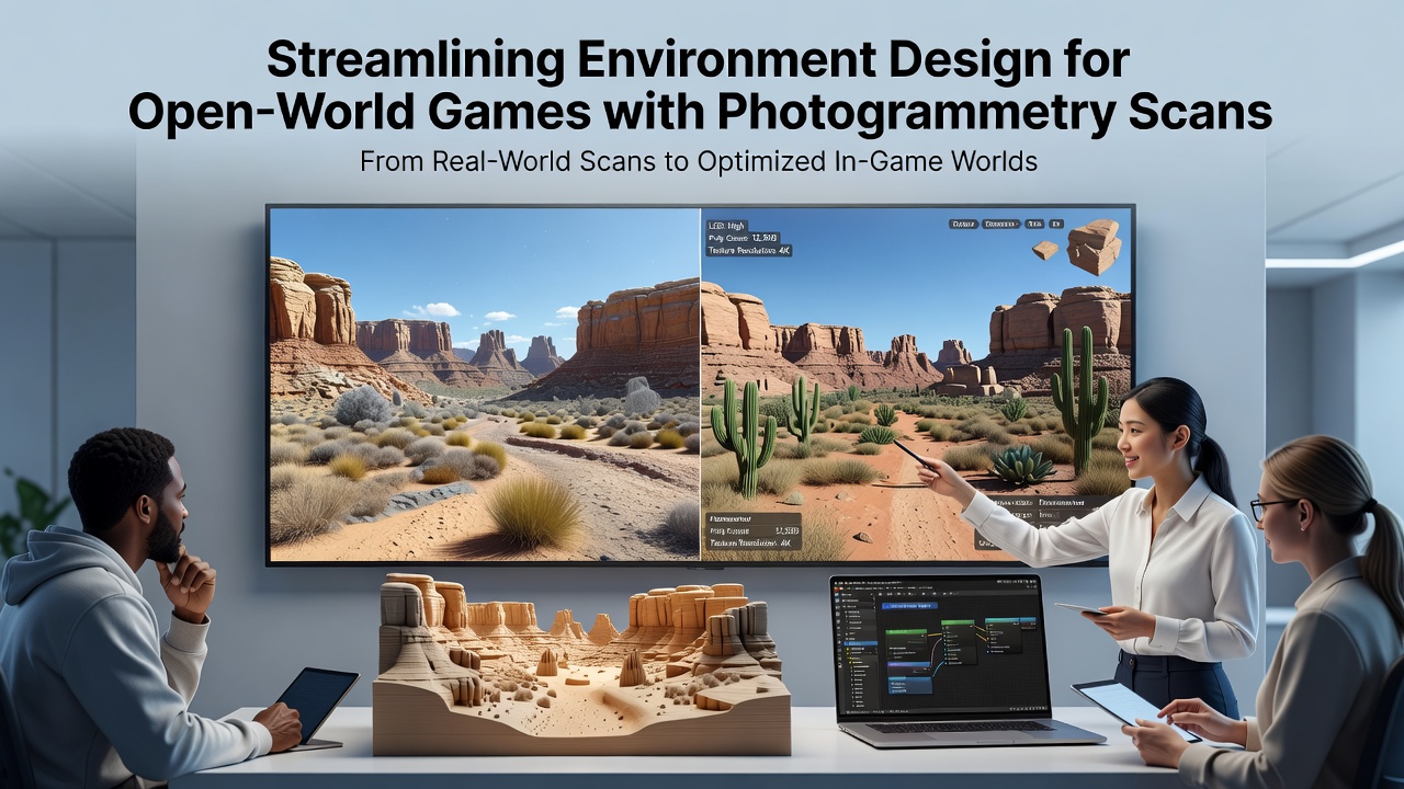
Modern smartphones and tablets can run the resulting environments because developers apply aggressive LOD systems, texture atlasing, and shader optimizations that keep draw calls within device limits while retaining the high-resolution source material from the original scans. Cloud-based processing services handle the heavy photogrammetry computation on remote servers, allowing smaller teams to generate assets without investing in on-site render farms. As of mid-2026 several engines offer built-in tools that automatically convert photogrammetry outputs into mobile-friendly formats, cutting additional conversion steps that once slowed production.
Case Examples from Recent Mobile Releases
One studio developing an open-world adventure set along coastal regions used drone footage of actual harbors and cliff faces to populate large explorable zones, completing environment layouts in four months instead of the eight months previously required for similar scope. Another project focused on urban districts captured street-level imagery during permitted shoots, then integrated the processed models into a seamless city that players traverse on foot or by vehicle. Research indicates these scanned assets maintain consistent visual quality across different device tiers when combined with dynamic resolution scaling and adaptive texture streaming.
Observers note that location-based accuracy also supports narrative immersion because players recognize real architectural styles and natural features without the uncanny flatness that sometimes appears in purely procedural worlds. Game engines now include dedicated import pipelines that preserve scan-derived normal and displacement maps while automatically generating collision geometry suitable for touch-based controls common on mobile platforms.
Integration Challenges and Technical Solutions
Photogrammetry outputs often contain excess geometric detail that exceeds mobile memory budgets, so teams apply decimation algorithms and normal-map baking to retain surface definition at lower polygon counts. Lighting baked from the original capture must be adjusted for dynamic time-of-day systems that mobile titles frequently implement, and developers solve this by layering additional light probes and reflection captures during final integration. According to a study published by the University of Melbourne, careful calibration of scan resolution against target device specifications reduces memory overhead by twenty-five percent while preserving perceived detail.
Network constraints on mobile devices require further optimization because large open worlds must stream in chunks without long loading pauses. Studios address this by segmenting scanned environments into manageable tiles and using predictive loading based on player movement patterns documented during playtests.
Conclusion
Photogrammetry continues to shift how environment teams approach open-world mobile projects by providing high-fidelity source material that shortens iteration cycles and improves consistency with real locations. As processing tools mature and hardware capabilities expand, more developers are expected to adopt these capture methods for future titles that demand expansive, believable worlds on portable devices.